

The Fraser Watershed
The Fraser Watershed stretches from the Rocky Mountains to the Salish Sea, connecting rivers, lands, communities, and cultures across much of what is now called British Columbia. Water flows through forests, farms, towns, and salmon-bearing streams, linking headwaters to sea and shaping life along the way.
What happens in one part of the watershed affects the health and resilience of the whole. Changes upstream influence water quality, habitat, and flow downstream. Salmon, a keystone species, travel hundreds of kilometres through the watershed during their life cycle, making visible the deep connections between places, people, and ecosystems.
Caring for the Fraser Watershed means understanding these connections and the relationships that sustain them over time. Across the watershed, communities, First Nations, landholders, and others are working to restore habitat, strengthen local capacity, and prepare for a changing climate.
Regions of the Fraser Watershed:
Fraser Headwaters
East of Mount Robson to Prince George, approximately 3 million hectares
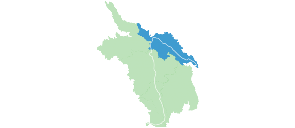
The mighty Fraser River begins as a tiny trickle of water, originating in the Rocky Mountains near Jasper National Park. It quickly grows in volume as it winds its way through the Robson Valley and past Mount Robson Provincial Park. This area, known as the Fraser Headwaters, features ancient old-growth forests and intact watersheds that provide critical habitat for diverse wildlife such as grizzly bears and elk.
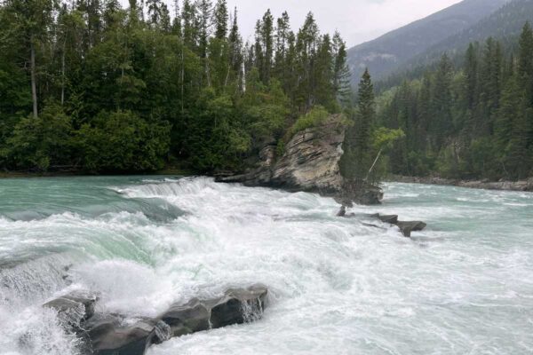
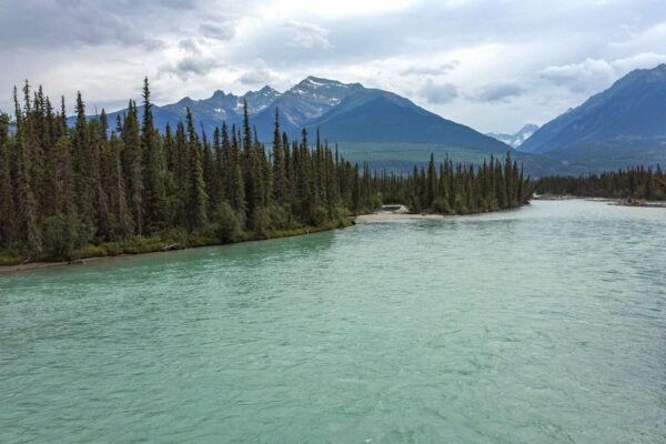
The clear, blue waters of the Fraser Headwaters mark the start of the river’s 1,370-kilometre journey to the Salish Sea. This pristine region is both ecologically significant and culturally rich, lying within the traditional territories of the Dakelh / Carrier, Secwepemctsín and Ktunaxa language groups.1
1. First Peoples’ Cultural Foundation. FirstVoices. Retrieved from https://www.firstvoices.com
Background photo: Mount Robson and the Fraser River headwaters by Marin Patenaude.
Nechako
The Nechako and Stuart River headwaters to Prince George, approximately 4.7 million hectares.
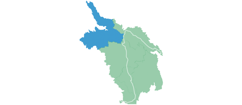
The Nechako Region hosts the second largest tributary of the Fraser River: the Nechako River. As the Fraser River bends south at Prince George, it meets this tributary, home to a genetically distinct population of ancient and endangered white sturgeon, the largest and longest-lived freshwater fish species in North America.
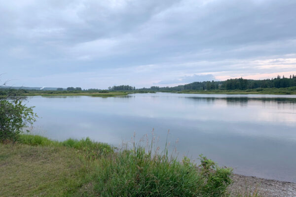
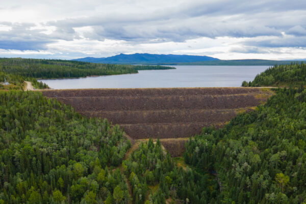
The Nechako River was dammed in the 1950s by Alcan (now Rio Tinto) to generate power for aluminum production in Kitimat. The Kenney Dam altered the river’s natural flow, and the majority of its water remains diverted today. This drastically changed the land and riverscapes, as well as the lives of those who depended on the river for their ways of being.
Language groups spoken in this region are the Tsilhqot’in, Dakelh / Carrier, Nedut’en / Witsuwit’en and Tse’khene in the Nechako and Stuart Rivers. The river’s name in the Dakelh / Carrier language is Lhtakoh or netʃa koh (“rivers within one another” or “big river’) with “Nechako” being an anglicization version.1
1. First Peoples’ Cultural Foundation. Retrieved from https://www.firstvoices.com
Background photo: The Nechako River headwaters by Riley Brennan.
Cariboo-Chilcotin
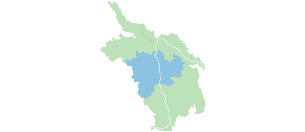
North of Quesnel to south of Williams Lake, approximately 6 million hectares.
The Cariboo-Chilcotin region encompasses dense forests, rolling grasslands, semi-arid plateaus, glacial lakes, and dramatic granite-walled river gorges. The area serves as a vital wildlife corridor between protected habitats, supporting the recovery of wild salmon, grizzly bears, moose, and mountain caribou.
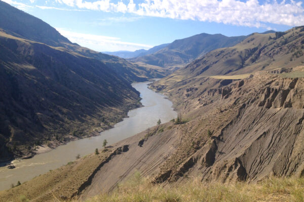
Geologically, the Fraser River’s path here is influenced by the Fraser River Fault Zone, a roughly 570-kilometre-long feature. The river follows this fault line, with key tributaries like the Chilcotin, Chilko, and Taseko Rivers feeding into the Fraser, each contributing unique characteristics. For example, the Chilko’s clear blue waters contrast sharply with the Taseko’s milky glacial hue at their confluence.
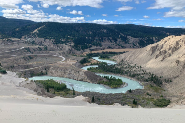
This diversity is mirrored in the region’s cultural heritage, where the Fraser River, known in the Tsilhqot’in language as ʔElhdaqox (Sturgeon River), is central to the traditions of Indigenous peoples. This region is home to the Tsilhqot’in, Dakelh / Carrier, Secwepemctsín, and St’át’imcets language groups, reflecting a deep cultural and ecological connection to the land – each having their own names for and ways of relating to the river.2
1. First Peoples’ Cultural Foundation. FirstVoices. Retrieved from https://www.firstvoices.com
Background photo: A view of Honeycomb Island from Quesnel Lake by Hailey Karran.
Thompson
Thompson River headwaters to Lytton, approximately 5.6 million hectares.
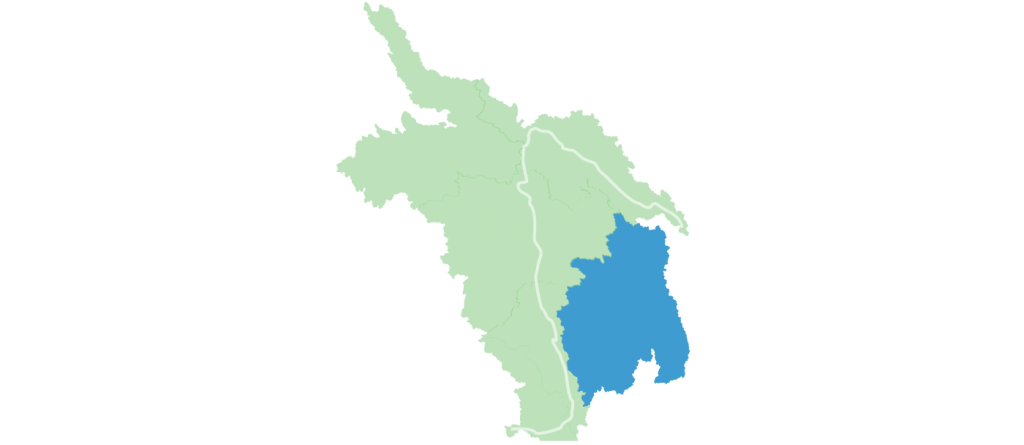
The Thompson River is the largest tributary of the Fraser River. It originates in the glaciers of the Cariboo Mountains, which gives the river its distinctive green hue from fine glacial silt. The Thompson has two main branches: the North Thompson, which flows south from the mountains, and the South Thompson, which emerges from Shuswap Lake in Chase and flows west. The Adams River, which feeds into Shuswap Lake, hosts one of the largest sockeye salmon runs in North America. The two branches converge near Kamloops, forming a single channel that winds through the rugged Thompson Canyon near Ashcroft before joining the Fraser River at Lytton.
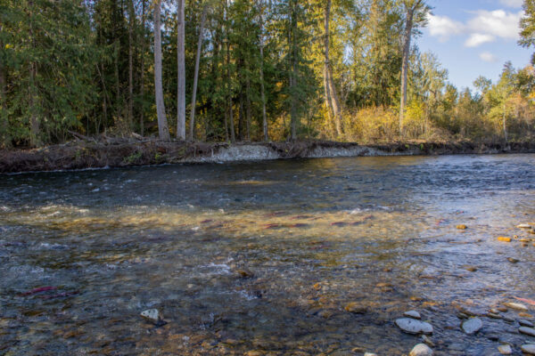
The Thompson region features a semi-arid, desert-like climate, shaped by its location in the rain shadow of the Coastal and Cascade Mountains. Its sagebrush-covered hills and hot summer temperatures are part of the unique climate and diverse landscapes that have made the area renowned for agriculture and recreation.
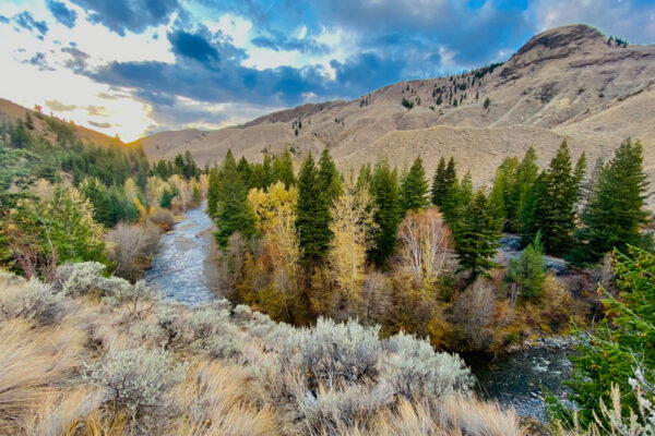
The confluence of the Thompson and Fraser Rivers is traditionally known as ƛ’q’əmcín (Camchin or Kumsheen in an anglesized nłeʔkepmxcín) 1 which means “rivers meeting,” reflecting its significance as a historic crossing and gathering place for First Nations communities. The region is represented through the nłeʔkepmxcín, Secwepemctsín and Nsyilxcen language groups.2
1. BC Geographical Names. Camchin. Retrieved from https://apps.gov.bc.ca/pub/bcgnws/names/51546.html
2. First Peoples’ Cultural Foundation. FirstVoices. Retrieved from https://www.firstvoices.com
Background photo: Deception Falls in Wells Grey Park, near the headwaters of the North Thomspon River.
Fraser Canyon
South Chilcotin River to north of Yale, approximately 2 million hectares.
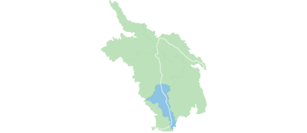
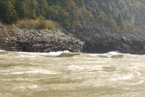
The Fraser Canyon lies between the Coastal and Cascade Mountains, carving some of the narrowest and most forceful stretches of the Fraser River. Here, the Fraser’s power is showcased as it flows swiftly through steep granite walls, especially south of Boston Bar, where the towering canyons frame the deep, rushing waters.
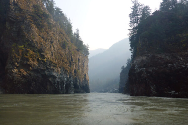
This region is home to landmarks like Hell’s Gate and the Stein Valley Nlaka’pamux Heritage Park, offering awe-inspiring scenery and important cultural landscapes. However, frequent landslides, often instigated by human impacts, have greatly influenced the ecosystem, particularly salmon migration and spawning.
The Fraser is known as Sát̓atqwa7 by the Northern St̓át̓imcets people. Indigenous languages such as Halkomelem (in the Halq’eméylem or Upriver dialect), nłeʔkepmxcín, St’át’imcets, and Secwepemctsín are historically and culturally rooted in the area, reflecting the deep connection of the surrounding First Nations to this land and water. 1
1. First Peoples’ Cultural Foundation. FirstVoices. Retrieved from https://www.firstvoices.com
Background photo: Hoodoos, a unique geological formation seen in the Fraser Canyon. Photo by Candice Ford.
Lower Fraser
Hope to the Salish Sea, approximately 1.4 million hectares.
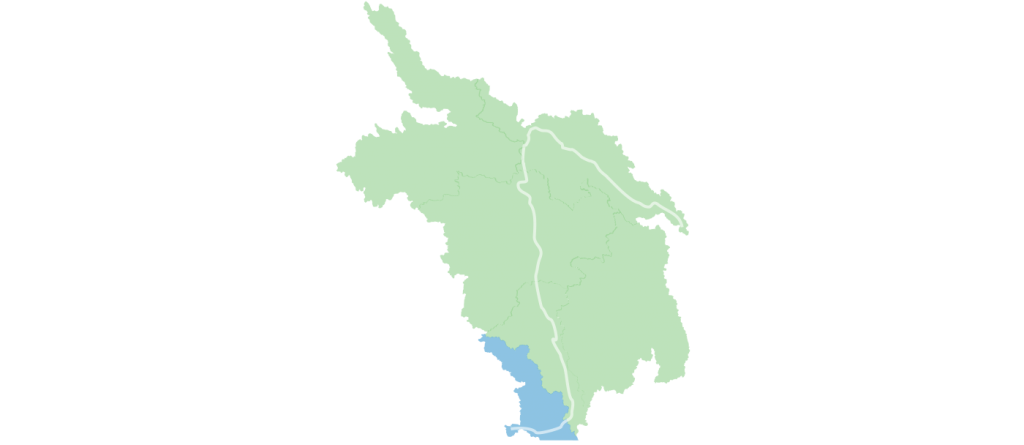
The Lower Fraser River, also known as Stó:lō by Halq’eméylem 1 speaking people, encompasses about 1.4 million hectares. As the river emerges through mountain passes near Hope, its swift, sediment-laden waters slow and expand. This transition marks the beginning of the fertile Fraser Valley flatlands, shaped by millennia of silt and sediment deposits carried from its vast tributary network and seasonal glacial freshets.
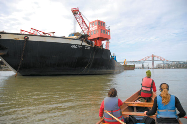
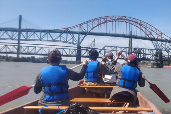
Further downstream, the river evolves into a sprawling delta and estuary where its waters eventually meet the Salish Sea. Once a vast network of wetlands, the Lower Fraser provided vital habitat for over 600 species, including all species of wild Pacific salmon, and remains a critical stopover for more than 1.7 million migratory birds each year. Despite extensive impacts from urbanization, agriculture, and industry, these landscapes still hold opportunities to connect, protect and restore key natural habitats.
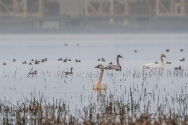
The Lower Fraser River is intrinsically linked to the First Nations peoples of the region. It flows through the traditional territories of several language groups, such as the Halkomelem dialects—Halq’eméylem spoken upriver, hən̓q̓əmin̓əm̓ downriver — and nłeʔkepmxcín dialects in some areas.2
1. Stó:lō Nation / Stó:lō Research & Resource Management Centre. (2012). Man Turned to Stone: T’xwelátse. Retrieved from https://www.srrmcentre.com/StoneTxwelatse/06NoteHalq.html
2. First Peoples’ Cultural Foundation. FirstVoices. Retrieved from https://www.firstvoices.com
Background photo: Gravel stretch of the Lower Fraser.